sven

joined 1 year ago
[–] [email protected] 1 points 3 weeks ago

That's a good point! Keeping compatibility is important.

[–] [email protected] 5 points 2 months ago

Fair point! Better safe than sorry. On the other hand, drivers 'round here will go 20 over no matter what I designate it as lol. Kidding... kinda.


I have recently got into mapping traffic signs and speed limits where I can, but I realised I don't know what to do when mapping differing speed limit signs that are offset from each other. It's a transition from a 50km/h zone to a 60km/h zone but the signs are offset by 65m, making a sort of "no-mans land" in-between. I plan to map it with the in-between zone tagged with separate maxspeed:forward and maxspeed:backward tags. I assume it should be done this way because as a driver on the ground I would follow the speed limit signs on my side of the road as I passed them, having no knowledge of the reverse sign.

I guess I'm wondering if this is a logical way to map this?

[–] [email protected] 1 points 5 months ago

Eyy dashcam twins. It was the most recommended one I found after looking around YouTube and Reddit to find a dashcam that was better than a hollowed-out potato.

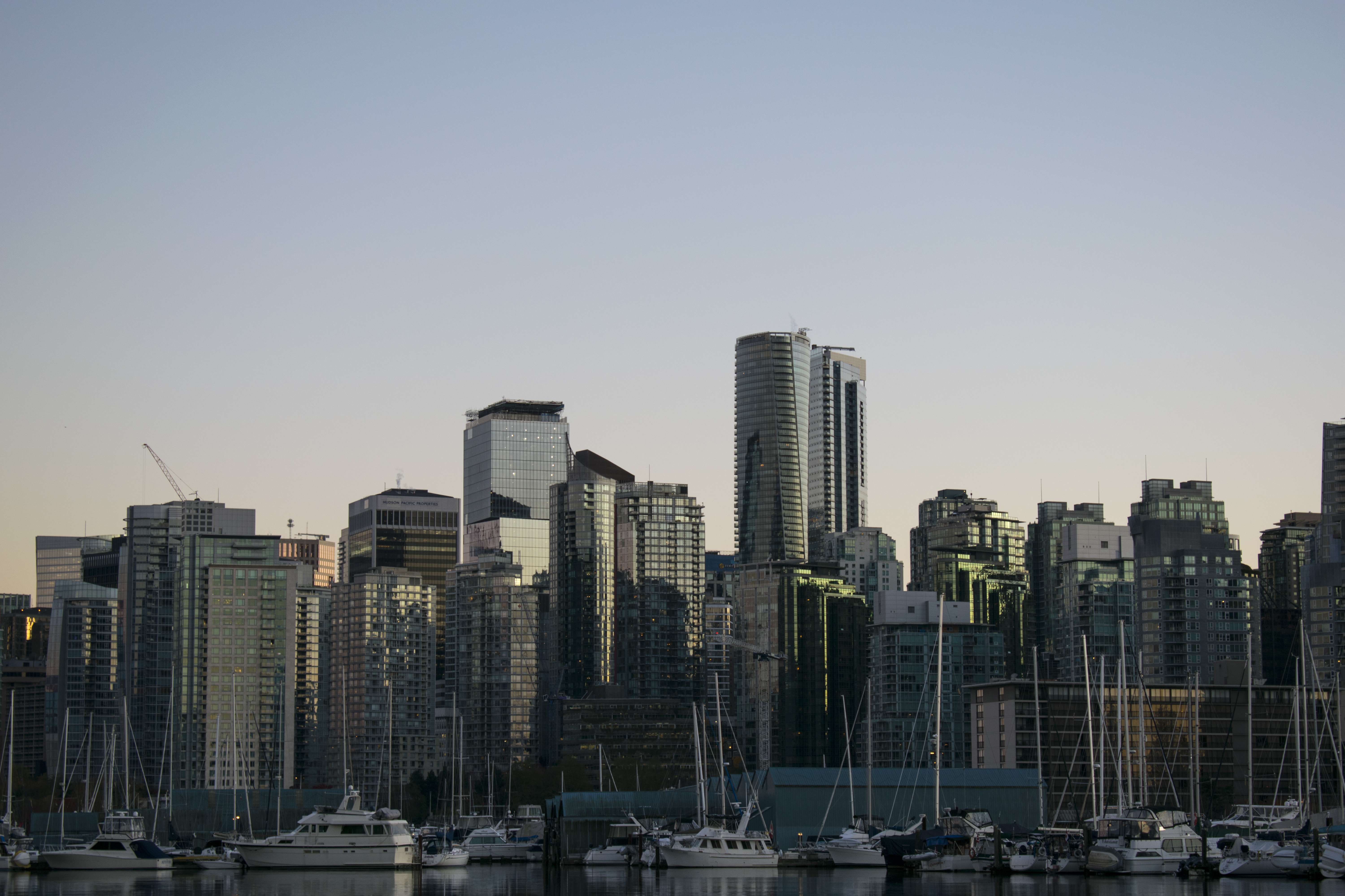
 

This is about as exciting as my morning commute gets. Probably better that way...


Gear: Nikon D3300 with 18-55mm AF-P lens at 55mm.

Settings: 1/60 f5.6 ISO100

Location: Stanley Park in Vancouver, BC, Canada on November 8th, 2022.

I am a protanomalous colourblind so constructive pointers on colour grading are welcome.


Nikon D3300 with 18-55mm AF-P lens at 55mm.

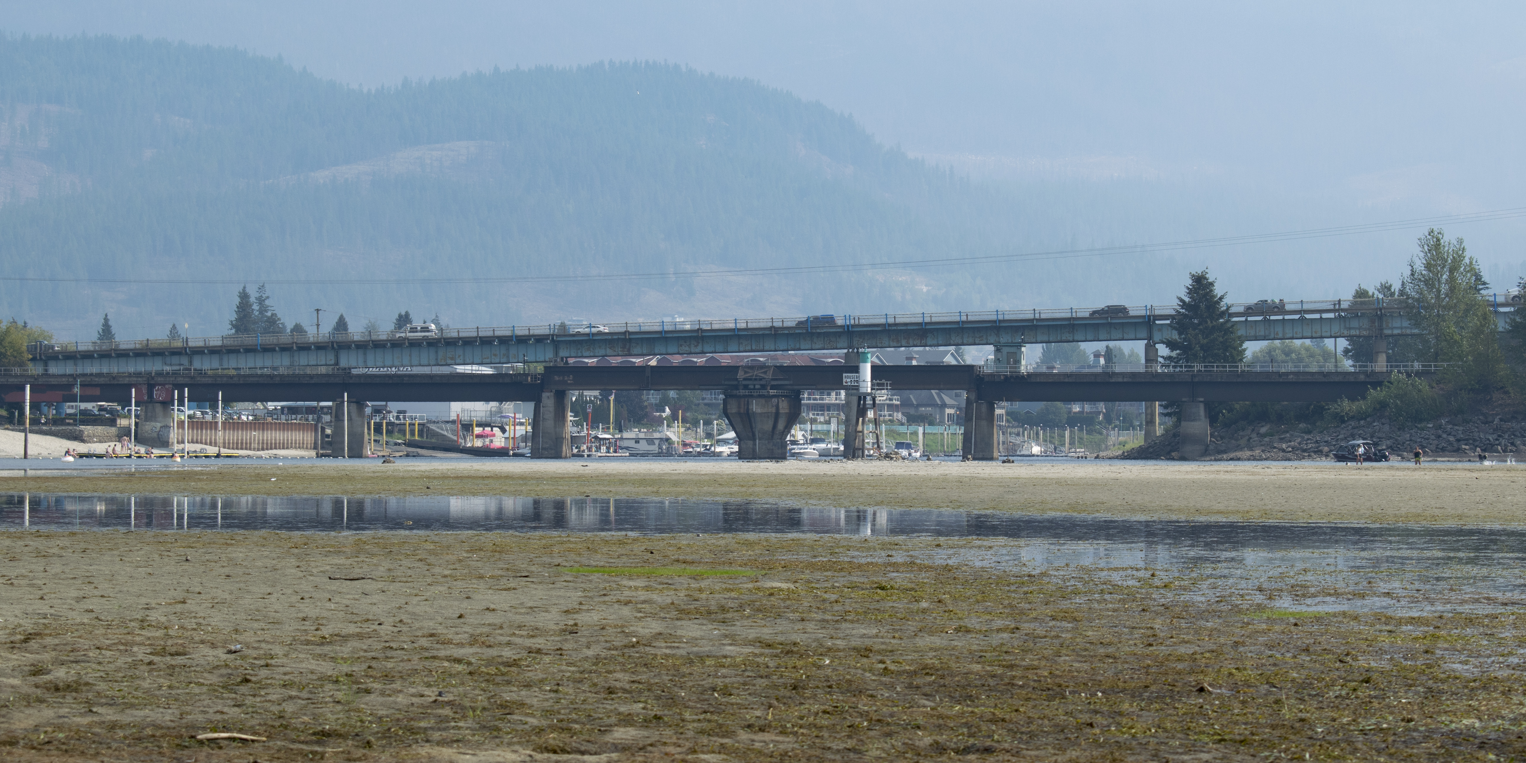
Shot south-east from the Shuswap Lake bed towards the RW Bruhn Bridge. This bridge may be getting replaced for a 4-lane design in the near future¹.

Critique welcome.

¹ Source


Nikon D3300 with 18-55mm AF-P lens at 55mm.

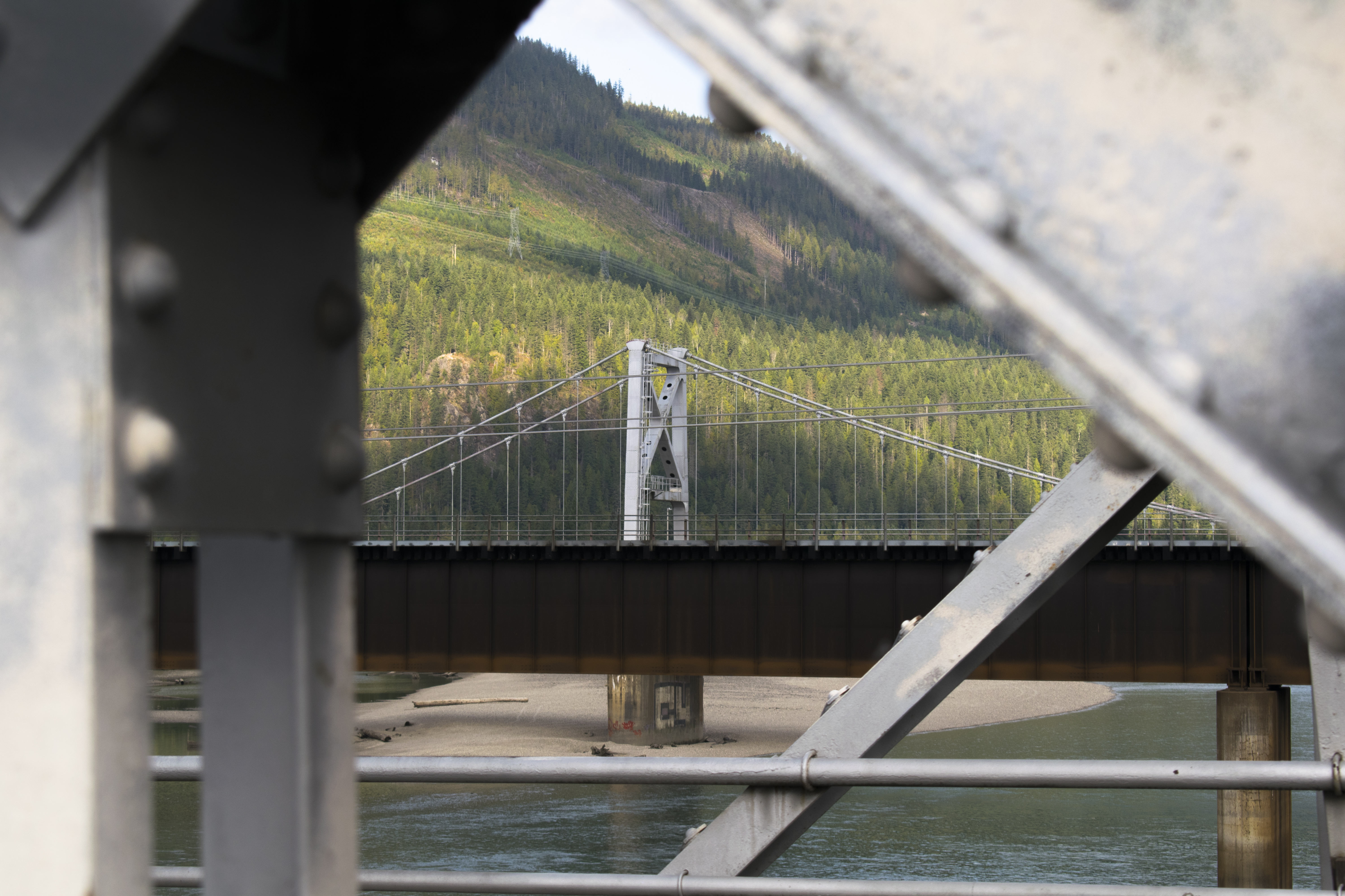
Shot from the Big Eddy Bridge north-west-wards over the Revelstoke Railroad Bridge and Revelstoke Suspension Bridge towards Boulder Mountain.

I am a protanomalous colourblind so constructive pointers on colour grading are welcome.