[-] [email protected] 1 points 3 hours ago

I'm assuming this is one of the larger climbs/vertical displacements that Percy has managed in a single sol. This old crater rim is definitely the steepest terrain the rover has tackled, which might limit the rover's progress on driving days, but I wonder if the all bedrock we've encountered along the way is enticing the scientists enough to take it slower.

[-] [email protected] 2 points 4 hours ago

How like you people to constantly reference your tired, dirty terrestrial examples, your lousy "Earth analogues". Anyone that's been paying attention knows that Martians craft things like the ultimate artisans they are, applying the most gentle and skillful touch, tentacles perfectly co-ordinated. Humans go on and on about the "Inca City" and the "Face on Mars", but Martians work every crevice of every worthy rock.

If Earth had a real space program, or just real science, you'd see them dancing on every dust mote, and you might even catch them making lewd gestures when Perseverance fries yet another rock to "analyze" it, but you're too intent on your carbonates and silicates and phosphates...

Nuclear-powered. Ridiculous.

[-] [email protected] 2 points 4 days ago

I mean, if you're going to engage in clickbait, you may as well get the best return on your deception possible.

Picture it: a dark future where MSR's 2nd-gen twin helicopters fly toward the grizzled Perseverance, many years from now. While one drone is recording, NASA can execute commands aboard the rover and the 2nd drone to create the ultimate sci-fi action scene: Percy firing its "LIBS" (i.e. Star Wars-style laser) at the approaching drone.

If Steve Ruff does the mock-up of this for his channel, I'm sure we could convince NASA to do it. Hollywood will pay big for the rights to this Martian Robo-Wars scene, when people realize that AI-created slop is less exciting than actual footage.

59
submitted 6 days ago by [email protected] to c/[email protected]

No, I'm not calling this a "potential biosignature" 😆

Mars Guy has documented some of the rover team's prior work on coated rocks, although I don't remember seeing any examples this visually striking.

The coated rocks which have been documented prior to this one - none of which were nearly so patchy as this one, if I recall correctly - have been interpreted as a relatively thick dust coating formed by the action of water vapor, i.e. humidity. Mars should have had some fairly recent episodes of higher atmospheric moisture caused by the tilting of Mars' axis, which would expose the polar caps to more sunlight and temporarily humidify the atmosphere while the ice is being redistributed to the new polar latitudes.

We've never had any mission climb the rim of a crater as large as Jezero before... not on Mars, or even on Luna... I'd say it's been pretty fun so far!

[-] [email protected] 5 points 1 week ago

And all the low-lying terrain in this image was under water...

I am fascinated by Mars as it is. Even so, this amazing image really forces me to stop, and stare, and imagine this scene, imagine Mars, as it was. It's artfully framed, yes, but I'm still stunned to visualize how those old, low, rounded-down ridges in the background would look entirely different if they were encompassing open water. Every time you think you're starting to understand Mars...

[-] [email protected] 2 points 6 months ago

I know that the mission releases the proper calibrated images here, but only some months later, so neumast's reply is the correct one for now.

[-] [email protected] 2 points 6 months ago

Thanks for your detailed reply, Paul. It would definitely be worth compiling a set of NavCam images like the ones we're talking about here. A casual review came up with this recent one, and Sol 1093 has another, so there should be a few.

Just to clarify, the very specific framing of the NavCam tile above is something I don't remember seeing much since we landed. There are a few elements that make the shot perfect, like the ratio of rover suspension/wheels to surface, the shadows, alignment of the rover and so on. The sense of depth created by seeing parts of the rover at different heights from the camera is really important here. I realize that I'm getting into the weeds and thinking like a photographer and not a rover planner. I'm just trying to point out that this specific framing here is both informative and artistic - maybe even iconic - in a way that other regularly-planned shots don't quite match.

I'll see if I can compile a list in the next week or so.

271
submitted 6 months ago by [email protected] to c/[email protected]

I have seen thousands upon thousands of still frames from the MER, MSL and Mars 2020 missions, but very few that take the perspective seen above. I find it practical and useful for the following reasons:

  • Seeing exactly which clasts and sand ripples have been in contact with the rover (notice the pebbles and cobbles that have been pushed into sand, exposing darker material). The rover's tracks aren't always evident, and this helps.
  • We can easily see the state of the wheels
  • We get instant perspective on the size of surface features
  • We can observe sedimentation on the rover (how much sand/dust is coating it) through time

However...

Shots like this are just really cool. People already anthropomorphize rovers (and Ingenuity), because we like seeing ourselves on other worlds by proxy. People also like monster trucks, mudbogging, ATVs, and just plain getting dirty. Mars is known for being cold and arid, but the truth is, barring any possible toxins in the soil or dust, it's really a place for big kids! Geologists aren't the only ones who like to play in the rocks. There's a whole culture out there that likes to put metal to dirt or hard stone, and I don't feel like we reach them enough. More of these, please!

[-] [email protected] 4 points 6 months ago* (last edited 6 months ago)

I don't want to be pedantic here in saying this: Mars experiences dust storms, rather than sand storms. That is a significant difference, because dust is light enough to stay aloft for much longer than sand, which has noticeable effects on climate. Today's Martian atmosphere cannot loft sand very far. Keep in mind that sand storms would be much more effective at eroding rocks like the one Percy is investigating now - and doing damage to things like rovers and solar panels.

Imagery from today (sol 1084) shows that visibility is not great - parts of the Jezero rim are hazy or invisible - but it's far from the worst we've seen on the planet (I'm thinking of what Opportunity saw in the great storm of '07). I would actually expect Ingenuity to survive this.

39
submitted 6 months ago by [email protected] to c/[email protected]

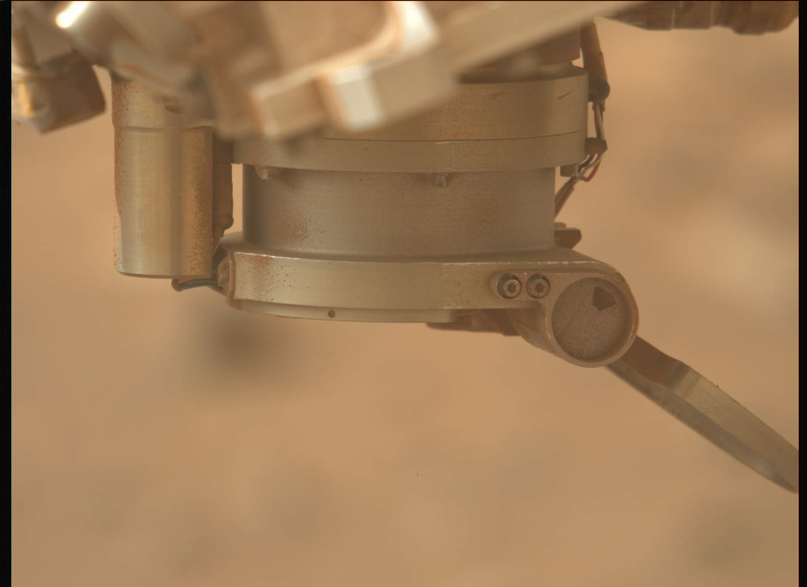
After reporting a while back that the SHERLOC instrument was inoperable due to a stuck, half-open dust cover, it seems that we're back in business, based on the latest images from Sol 1076 (29 Feb 2024).

I'm not sure if the engineering team will decide to leave the dust cover open, but I do know that the science team could really, really use SHERLOC, which can (and has) identified organic molecules in the rocks, including the samples we've collected. With Ingenuity losing its "wings", we can all use good news from Jezero!

13
submitted 7 months ago by [email protected] to c/[email protected]

Comparing recently downlinked images from Sol 1069 (22 Feb 2024), the partially closed (and apparently stuck) dust cover for SHERLOC seems to have opened by a few more degrees.

SHERLOC is one of the mission's primary instruments, used to detect organic molecules and identify minerals. Losing the full use of this instrument would be a problem.

The following sequence of images, taken several minutes apart, will show the dust cover's motion:

https://mars.nasa.gov/mars2020-raw-images/pub/ods/surface/sol/01069/ids/edr/browse/zcam/ZL0_1069_0761842926_818ECM_N0501618ZCAM05177_110085J01.png

https://mars.nasa.gov/mars2020-raw-images/pub/ods/surface/sol/01069/ids/edr/browse/zcam/ZL0_1069_0761844394_678ECM_N0501618ZCAM05177_110085J01.png

https://mars.nasa.gov/mars2020-raw-images/pub/ods/surface/sol/01069/ids/edr/browse/zcam/ZL0_1069_0761845258_706ECM_N0501618ZCAM05177_110085J01.png

[-] [email protected] 4 points 7 months ago* (last edited 7 months ago)

Potato-shaped!??!? I'd like to see Mars Guy's figure after a few billion years...

Please. Some respect here for these two well-accreted ellipsoids with a few extra tera-tons. If you people want to swipe left on something, you can go straight to the Belt with all those charisma-free rubble piles and old boulder-faces. Sure, they've got the organic matter and the metals, but we'll see who you come running back to when you remember who's been lighting up every romantic Martian evening for all these eons...

[-] [email protected] 4 points 7 months ago

Perseverance is deep within the ongoing Margin Unit campaign, where orbital signatures of carbonate minerals appear strongest.

Perseverance is approaching a small, ~50-m-wide impact crater that has created a natural cross-section of rock layers of the Margin unit, potentially providing new views of deeper bedrock. The team is eagerly awaiting images of the interior of this small crater, which could reveal information about the emplacement of the upper Margin Unit.

Based on orbital satellite images, rock layers near the Jezero Crater Rim are thought to be among the oldest rocks that could be explored by a rover on Mars. Therefore, the light-toned rock layers pictured here could represent much older strata than has yet been explored by Perseverance – possibly dating back to the Noachian (approximately 3.7 – 4.1 billion years ago). Exploration of these terrains could provide unprecedented insight into the climate and environmental habitability during earlier and possibly wetter periods in Mars’ history.

16
submitted 7 months ago by [email protected] to c/[email protected]

SpecialSetOfSieves

joined 7 months ago