And the new map will be just as bad as the old one oops! No good? Ok we'll do another map, oh its just as bad? Oops!
And repeat
Repeat
Repeat
Oh were out of time! Guess youll be forced to use one of the map we already made, oops!
Welcome to the discussion of US Politics!
Rules:
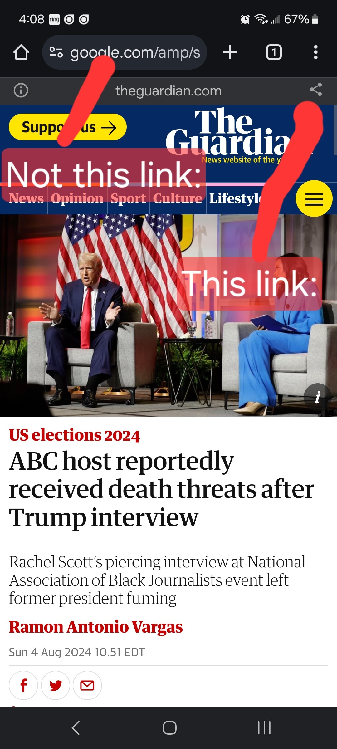
Links must be to the original source, not an aggregator like Google Amp, MSN, or Yahoo.
Example:

We ask that the users report any comment or post that violate the rules, to use critical thinking when reading, posting or commenting. Users that post off-topic spam, advocate violence, have multiple comments or posts removed, weaponize reports or violate the code of conduct will be banned.
All posts and comments will be reviewed on a case-by-case basis. This means that some content that violates the rules may be allowed, while other content that does not violate the rules may be removed. The moderators retain the right to remove any content and ban users.
That's all the rules!
Civic Links
• Congressional Awards Program
• Library of Congress Legislative Resources
• U.S. House of Representatives
Partnered Communities:
• News
And the new map will be just as bad as the old one oops! No good? Ok we'll do another map, oh its just as bad? Oops!
And repeat
Repeat
Repeat
Oh were out of time! Guess youll be forced to use one of the map we already made, oops!
Exactly what they did in Ohio. Fucking infuriating.
If that comply then then independent organization should draw the maps.
I'm a fan of Shortest Split-Line.
What you do is take a population map of the state and draw the shortest line possible to separate the population into two equal halves. Then you subdivide those halves with the shortest line to make equal population quarters.
Keep this up until you have all your districts.
There's a little math trick to get equal populations for odd numbered districts.
Now, some people hate this method because it can break up historic neighborhoods and such. I don't care because it ends gerrymandering completely. It's 100% party neutral.
Also, the generated maps are often better than you'd think.
https://www.rangevoting.org/Splitline2009/la.png
vs this;
The Federal Judges picked the map for Alabama after their legislature's racist asses sent the case all the way to the SCOTUS, who rightfully declined to hear the case and the same thing would likely happen here. But nah we have to be massive cynics ignorant of the system and just assume everything is burning down around us so that we're powerless to do anything about it because we're too lazy to figure out something to do to help save democracy.
🥇 Thank you! It is seriously awesome to hear someone say this. I'm so sick of the doom. There's plenty to worry about without adding made up shit to the list.
Yeah the last couple days I've really had my hackles up on the doom and gloom stuff. It's makey me cray cray.
This is the best summary I could come up with:
The order said “the district court’s 2022 preliminary injunction, issued with the urgency of establishing a map for the 2022 elections, is no longer necessary.”
The opinion clarified that uncertainty remains regarding how external factors could affect developments in the case ahead of Jan. 15.
The court argued “an opportunity to adopt a new plan is appropriate since redistricting is a quintessential obligation of a state after a census.”
Bel Edwards previously vetoed new congressional maps that were advanced by the state’s Republican-controlled legislature.
Bel Edwards said he thought the maps did not accurately reflect the makeup of Louisiana, a state where nearly 33 percent of residents are Black.
The court argued they chose the Jan. 15 deadline because they wanted to “allow newly elected officials to play an effective role in the process.”
The original article contains 406 words, the summary contains 134 words. Saved 67%. I'm a bot and I'm open source!
And they won’t, because there are no consequences.